
Stark County Neighbor Parcel Sources
Public records can describe the block around a Stark County address in layers. Auditor and GIS tools show parcel edges, roads, addresses, and selected property profiles. Recorder records can show an instrument or ownership history for one parcel. Canton’s neighborhood map identifies community-association geography. A dated criss-cross directory can place a listed name at a historical address. None is a complete list of current household members, and each needs to be read for the time period and purpose it was made.
The useful question is narrow: what does this source actually establish about the parcel or block? Property data can link a parcel to its assessed owner and tax mailing field. A ward finder can identify a City Council ward after a house number and street are entered. Voter records have a distinct, protected access route. This table keeps those sources separate so a search for Stark County neighbors does not turn a single public field into a claim that the record does not support.
| Stark County source | Block information | Access and boundary |
|---|---|---|
| Auditor and GIS parcel map | Parcel edges, roads, addresses, selected profiles, and map layers. | Public map and property tools; not a full household list. |
| Recorder CountyFusion | Individual-parcel instruments, parties, dates, and legal descriptions. | Search names or legal description; not a block resident list. |
| Canton neighborhood map | Association geography and group names. | Community coverage, not membership. |
| Canton ward finder | Ward for one house number and street. | Address geography, not personal information. |
| Voter channels | Individual verification or a county-and-day public snapshot. | No public street-browse feature; protected records stay withheld. |
| Haines Criss+Cross | A listed person at an address in a dated edition. | Historical and selective library source. |
Stark County Neighbors on GIS
The Auditor Public Access map is the practical starting point for adjacent parcels. Search the target address, open its maps option, and use the selected-parcel highlight. The map tools support pan and zoom, freehand, point, and box selection, Identify, Measure, and layer controls. Parcel, roads and addresses, tax-map, zoning, flood, neighborhood, and aerial layers provide physical context. Measurement helps distinguish a true adjoining parcel from a similar street name that happens to be nearby.
The method is geographic: address to selected parcel, selected parcel to surrounding outlines, then each outline to its own profile. Use Identify on each parcel instead of assuming that a line on the screen reflects a shared household. A selected profile separates parcel, owner, tax mailing name and address, legal description, sales, values, tax summary, land, sketch, and maps. The tax mailing address is correspondence routing. It may not be the property address.
GIS is also available through the county’s Basic and Advanced Parcel Viewer gateway. Its viewer is the online channel. For a record detail that the map does not expose, use the Auditor profile, the Recorder, or the proper local office rather than inferring the missing fact from a boundary line.
Address-specific municipal files have their own fallback routes. In unincorporated Stark County, Building Inspection accepts one criterion, including project street number or project street name, as a lead to a permit file. Canton’s online permit and inspection portal covers records created on or after October 1, 2025. For earlier city material, call 330-430-7800 or send a focused Canton public-record request with the address, approximate period, and record type. These records can clarify activity at a parcel, not who lives there.
Note: Parcel outlines show land relationships, not a count of people living in the homes that stand on those parcels.
Stark County Neighbors Need Care
Stark County neighbors in a parcel search are often parcel neighbors, not necessarily household neighbors. An assessed owner can be different from the person receiving tax mail, and either can be different from a current occupant. The Auditor profile makes that distinction visible by placing the parcel and legal fields alongside the tax mailing name and address. A deed records a conveyance or other instrument, not continuous residence after the recording date. A historical directory records an editorial, dated listing rather than every person at an address.
Commercial neighbor tools may combine public and commercial information, but their data can lag behind record changes or join people with the same name. They are a category of service, not a substitute for checking the original Stark County custodian. Compare the record type with the question before treating any result as current.
| Official record layer | Commercial neighbor-tool category |
|---|---|
| Names its custodian, field, and date, such as a parcel profile or recorded instrument. | May combine sources with different update dates and methods. |
| Can be checked against the map, counter record, or original document. | May need a provider’s own correction process as well as a custodian correction. |
| Has defined public-record exclusions and access channels. | Does not remove those exclusions or prove a person is currently at an address. |
Map Stark County Neighbor Parcels
A careful block lookup follows the land record outward from one known address. It does not guess from a postal city label or a nearby pin. The parcel and legal description provide the stable connection when a street name, number, or subdivision changes. A plat can describe the lot and block within a subdivision. A legal description is the recorded wording that identifies land, often through a lot, block, subdivision, survey, or metes-and-bounds reference.
- Find the target address in Auditor Public Access and confirm the property or situs address.
- Open Maps, then use the selected-parcel highlight to see the parcel in its immediate setting.
- Pan or zoom to adjoining outlines. Use Select and Identify for each parcel, and Measure when physical adjacency is unclear.
- Record each parcel ID, owner field, and legal description separately. Do not merge the nearby records into one household claim.
- When an ownership question needs history, search the Recorder by party name or legal description and check whether the parcel was split, combined, or replatted.
For a full named-road workflow, including street-only Auditor searches and permit routes, use the Stark County street directory. That method follows a whole street. The neighbors method remains focused on the closest parcels and their community context.
Note: The Auditor map supports physical comparison, while a Recorder instrument supplies the recorded description that can confirm which parcel a document concerns.
Stark County Neighbor Community Context
Canton adds a public community layer that property records cannot provide. The City says more than 50 neighborhood organizations cover all city areas and encourages representation through the Neighborhood Leadership Council. Its official map can help identify which association geography includes an address. The map is not a directory of members. It is useful for finding a public contact, meeting, event, or neighborhood history without trying to obtain private rosters.
Historic Ridgewood
One of the named areas on Canton’s official association map. Use the map to orient an address, not to identify residents.
Harter Heights
A named Canton community area that can add neighborhood context to a parcel search.
Market Heights
Another mapped association geography, useful for public civic contact and local history.
College Park
A map-listed community area. Current contacts or meeting details should come from the City or association.
The City of Canton neighborhood program is the current public route for that association layer. Canton Police’s Community Involvement Unit attends neighborhood meetings and events and lists 330-438-4516 as a contact. It is a community-engagement contact, not a source of address lists. For historical block context, Stark Library’s Haines Criss+Cross Directory and the Canton City Directory are dated address tools rather than current community rosters.
Stark County Neighbor Voter Limits
Voter evidence has a narrow role in a neighbors search. Stark County Voter View is an individual-verification form, not a map or block browser. It requires a last name and date of birth, with first name optional and suffix optional. The statewide My Voter Information system is a separate channel. Ohio’s DATA Act portal provides county-and-day voter-registration snapshots through a request and download process, but it does not make a casual nearby-name lookup available.
Ohio law treats some voter data as public while withholding Social Security information, driver-license or state-ID information, phone, email, confidential registrations, protected worker addresses, citizenship proof, and other protected information. A missing result can reflect a protected record or a search mismatch. It does not show that someone does not live near the address.
The Ohio voter-record chapter explains the public and confidential split that governs these records.
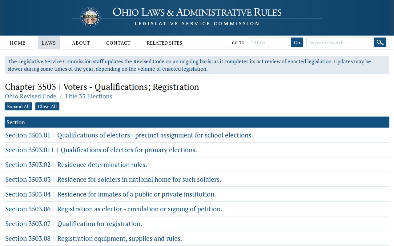
The statutory privacy rules shown with the Ohio voter source are why a neighbor lookup should never promise a block-by-block voter roster.
Stark County Neighbor Deed Checks
When a neighboring parcel needs a recorded-land check, start with its legal description or a known party in Recorder CountyFusion. The official quick guide directs a quick name search in LAST NAME FIRST NAME order, without punctuation. Its results show Instrument #, Book, Page, Recorded, Document Type, Name, Other Name, Legal Description, and Marginal. The legal description is the bridge from a map outline to a recorded instrument.
The quick-guide name results run from 1982 to the present, even though county land documents begin in 1809. Older research may require book and page references, Recorder staff, library indexes, or archives. The Recorder counter is at 110 Central Plaza South, Suite 170, Canton, with weekday hours of 8:30 a.m. to 4:30 p.m. Online copies are advertised free; self-serve copies cost 10 cents per page, staff-assisted copies cost $2 per page, and certification is $1 per document. A mail request needs the request, fee, and a self-addressed stamped envelope.
The Recorder FraudSleuth page describes its free, exact-name document alert service.
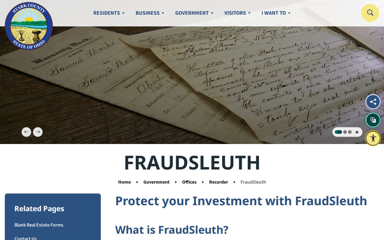
FraudSleuth needs a separate exact profile for each spelling, nickname, or middle-initial variation and can alert on an unrelated same-name person. It is a recorded-document alert, not proof of fraud, ownership, or residence.
Stark County Neighbor Privacy Limits
Public availability does not erase privacy boundaries. Safe at Home participants use an Ohio confidentiality program, and designated public service workers can seek specified residential-record redaction. Ohio public-record exceptions also cover confidential investigatory records, medical records, adoption material, and other protected personal information. Utility customer lists are not a public fallback for municipal utilities. A property owner, map point, or dated directory entry should never be recast as a complete account of a household.
Use Stark County neighbors research for lawful personal matters, community context, family history, or a property question. If a record appears wrong, contact the official custodian that controls it. If someone faces a safety threat, use law enforcement or the appropriate Ohio protection channel rather than trying to defeat a redaction. Stalking, harassment, and harmful use remain unlawful even when a name or address first appeared in a public record.